Phil & Nicole’s Great Birthday Tour: Land’s End to John o’ Groats
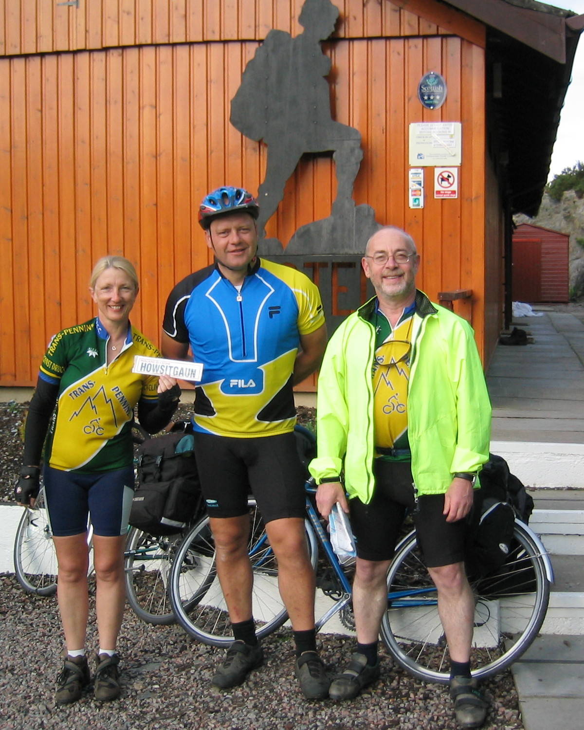
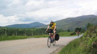
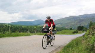
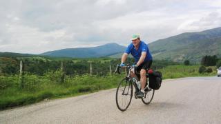
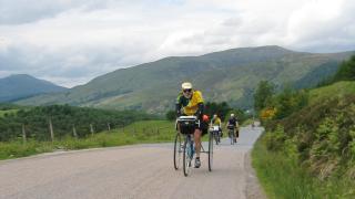
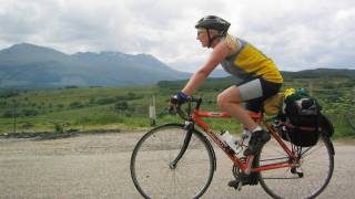
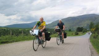
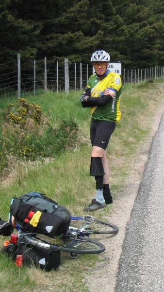
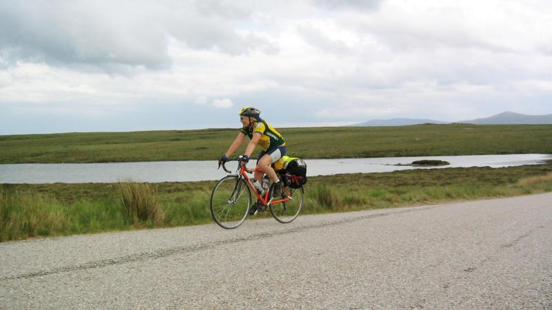
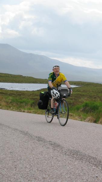
This ride is a ‘bucket list’ ride for all discerning cyclists – the classic End-to-End up Britain. With 2 club members, Phil and Nicole, celebrating significant birthdays, what better excuse to try this whilst we were all fit/keen/young* enough? (* Delete as you consider appropriate yourself). A quick poll within the club found several other members keen enough to participate for some and/or all of the trip, so the organisation began. We were also joined by John Wright (from Darwen), a friend of the club and whose digital camera provided most of these excellent photographs.
The Cyclist’s Touring Club (CTC, now rebranded as Cycling UK) have several route options, this being a UK Classic touring ride. And the Youth Hostel Association (YHA) had facilities dotted all along the CTC routes, so armed with their knowledge of CTC routes, the YHA organised overnight stops up most of England and Wales, to accommodate our group, at roughly 75 mile stages. We had to deal separately with the SYHA and some independent accommodation for the Scottish half.
The logistics for getting 10 riders plus machines to and from the Start and Finish required that we hired two vehicles for a weekend, each end of the trip. A minibus for the riders and a Transit van for the equipment. Two family friends were happy to drive, so we were good to go…
PROLOGUE: Rochdale to Land’s End
Friday 23rd May 2003, 06:30hrs, and we were pre-packed and off down the M6, early enough to get past Brum without traffic hold-ups. One snag with the vans – a window rubber trim was loose and flapping – a quick stop in Tiverton where a friend of Phil resides and the offending trim was glued back into position.
Next break was at the famous Jamaica Inn for lunch. Back in the vehicles, we blasted down into Cornwall and arrived at Land’s End in sunshine and with a strong SW wind – perfect if these conditions hold out for the next fortnight!
Land’s End > Penzance
Having got to Land’s End late afternoon, although the official tourist photo spot and the sign was closed for the night, we took our pics and registered our Official LEJoG start at the Land’s End Hotel, unloaded the bikes, and rode pannier-free the 9.3 miles to our hotel in Penzance. (That was to save time returning to LE the next morning.)
Penzance > Golant YH – 61 miles (total thus far = 70)
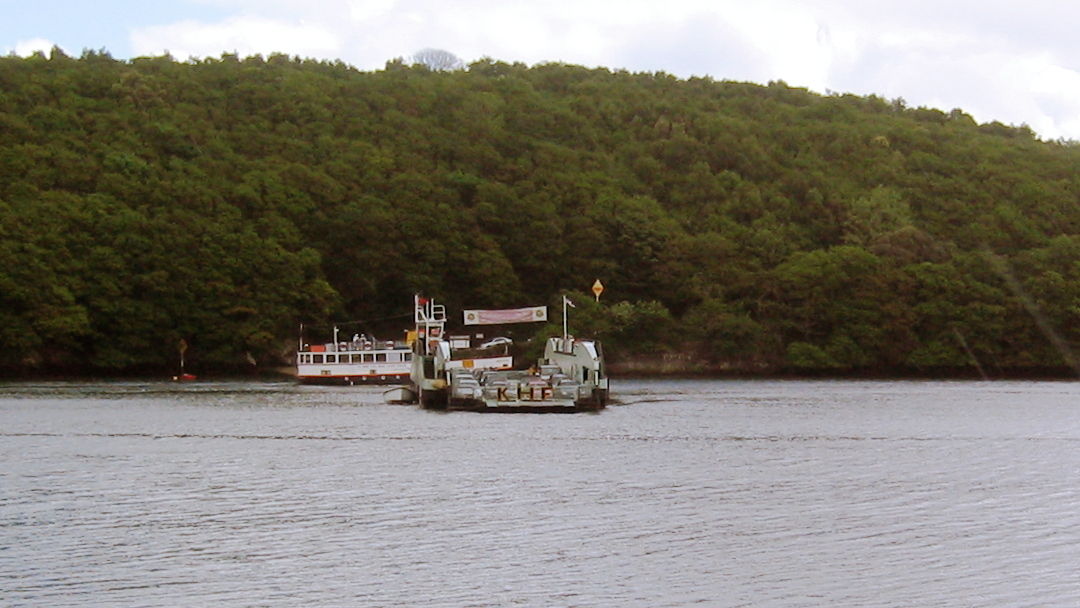
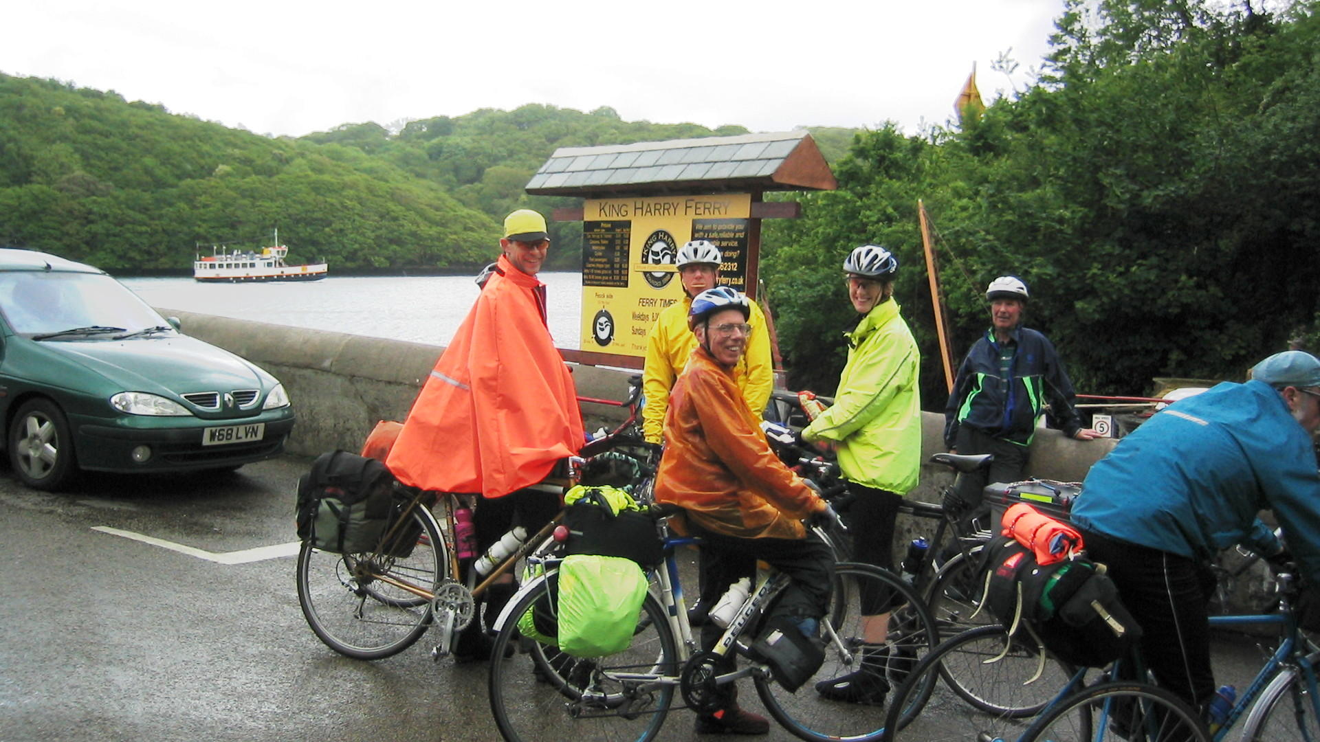
Oh dear, a showery start. But we had to get on with it. We knew that Cornwall and Devon had quiet but very hilly back-roads but it was a bit of a shock to realise just how steep these could be, albeit short. The CTC routes suggested two options: the north Cornwall coastal road or the English Channel south coastal route. We went the latter, as had been dictated by YHA availability. So it was the undulating roads skirting Helston and Falmouth to King Harry Ferry at Trelissick.
There we crossed the River Fal. Onwards through Philleigh, Tregony, A390 to St. Austell, Par then Golant.There were mutterings and grumblings about the hilliness of the route – with even Kath Fox reverting to the 24″ gear (i.e. 2 feet) to plod up one hill.
We never managed to find the Lost Gardens of Heligan, thus they remain! However, a very wayward Steve Cohen on his motorbike came down to meet us.
Golant > Steps Bridge YH (Dunsford) – 62.5 miles (137.5)
Up for an early-ish breakfast and on the road for 08:50. North on hilly lanes (to circumnavigate the Fowey estuary) to the A390 which itself remained undulating to Lostwithiel. We cracked on to Liskeard for a brew in a Safeway cafe.
Then back onto the A390 more even more hills up to Callington, where a passing motorist advised the lead group that “one of your colleagues, a young lady (?) has fallen off into stinging nettles.” Backtracking, we discover that it is indeed one of our group but it was not a damsel in distress – rather David Geldard (Club President, aka D1) who despite having been stung, was laughing at himself.
Undulatory onwards to Tavistock for a lunch stop. Phil ordered a tuna baguette so big D1 enquired whether he would eat it or climb it!
Eastwards to Dartmoor and a long, steady climb to Two Bridges, but with the wind at our backs. Even the sun appeared so leggings off. Lumpy roads continued to Postbridge then we found some cracking descents to Moretonhampstead. A final climb for the day to Doccombe then down through the trees to the hostel near Dunsford, just a few miles west of Exeter.
Steps Bridge > Cheddar YH – 75 miles (212.5)
With Cornwall behind us and now on our way out of Devon, we welcomed flatter roads. Through central Exeter where we needed to find a bike shop to replace a damaged axle skewer (Nic’s), then north up the Exe Valley to Tiverton. On the way, we passed through Bickleigh where it is rumoured that the village’s medieval bridge over the Exe inspired Paul Simon to write Bridge Over Troubled Water; Simon is known to have stayed in the village in the mid-sixties, although Art Garfunkel denied the rumour in a 2003 interview, stating that Simon had taken the phrase from a Baptist hymn.
From Tiverton, it was north-west on a quiet A38 to Wellington (known more for clothmaking than rubber boot manufacturing), then the A161 to Burrowbridge, and its Burrow Mump, allegedly one of the higher points on the Somerset Levels. Not quite Glastonbury but photogenic nonetheless.
Across to another high point, the Polden Hills, to Shapwick, where we were greeted by the sight of a young lady cycling downhill towards us wearing a dress with a VERY-low-cut-neckline, moreso than she realized? Or maybe she did, giving us a knowing smile… Cheered on by that, it was across the levels to Cheddar.
Cheddar > Welsh Bicknor – 76 miles (288.7)
Navigation of our route was via cut-out strips of map, from a UK Road Atlas – this was in the pre-GPS/Garmin or Google Maps days, remember! And map-reading had been straight forwards thus far. But our skills were now put to the test…
A drizzly start and a steady ascent of Cheddar Gorge into low cloud. Time to cape-up again. Quiet lanes through Chew Stoke, busier to Winford, then avoiding the edges of Bristol, up Belmont Hill, capes off, through Failand and across the Clifton Suspension Bridge.
Still skirting central Bristol, we escaped northwards to Aust, the old A48 and (the original) Severn Road Bridge: our 2nd historical suspension bridge of the day. On the way, we had a rather dodgy McDonald’s Mexican with mushrooms and deep fried fries (their description). Fortunately a village shop was able to supplement us with bananas.
We took the sheltered northside cycleway over the bridge, skirted Chepstow and carried on up the Wye Valley for tea and scones at Tintern Abbey.
Some of the group stopped at a Co-op to stock up with supplies for the next few meals. Tailwind assisted, D1 had cracked on past Redbrook where we were intending to climb up and across to Symonds Yat to shortcut the rather sinuous Wye Gorge. We caught D1 on the edges of Monmouth. So now off-piste and on the advice of 2 local cyclists, we took the “CTC Track” rather than risking the busy A40. This “track” petered out to become a farm track, very soft and sandy. No good for riding with loaded panniers (or in Barry’s case, a trike). For reasons not entirely still clear to this day (but it was probably due to the unsuitable soft nature of the surface) rather than turn back, we forked right and up a forest track into Highmeadow Woods… About 1hr later, having walked and pushed our way up a 1 in 10 track, meeting a runner who thought we were mad, we concluded that we had lost Barry and John who had been struggling behind. They’d the sense to question this madness and had headed back to hard surfaces and Monmouth.
Again, these were the days without everyone having mobile phones, apps, WhatsApp, etc. So after a bit of a wait, we concluded that Barry & John would not follow us – we cracked on. It was starting to get late… We found roads, found our way to English Bicknor, and descended down to meet the Wye again. We could see the hostel at Welsh Bicknor, just across the river. But could we reach it? An abandoned railway line bridge was so well fenced off that we could not get bikes over the metal barricade fencing. Eventually, a phone call to the hostel was answered, we got directions to carry on riding to Goodrich, cross the Wye there, then get to the YH, where we found that Barry and John, having been forced to resort to the busy A40, had got there well ahead of us.
Life would had been so much easier had GPS devices been invented then. But as much adventurous?
Welsh Bicknor > Coalport YH – 76 miles (364.7)
After the adventures of a day before, this was a relatively straightforward day, navigation-wise. But not for Nicole who loaded her bike up to find a flat rear tyre. This was duly fixed, but not for very long. (Nic’s 4th p*nct*re so far). So deciding we needed to replace her rear tyre, so we aimed for Hereford.
Lanes to Ross-on-Wye, then A49 to Hereford. Good deed done for the day: whilst parked up waiting for D1 to catch up, Phil mowed the lawn of an elderly lady. Hereford was busy but we managed to find a Sainsbury’s cafe and a bike shop for tubes and tyres.
Onwards to Ludlow but a tad too early for lunch. Martin decreed that we’d be bound to find a suitable lunch establishment by the road. But this was Wednesday and everything seemed to be on half-day closing. We find a petrol station with shop, eventually, and picnic in a field.
Onwards: Much Wenlock, Broseley and into Coalport and its various old Victorian workings.
The YH had a 5* bike room but a 1* food menu on offer, so we headed out to the pub across the road and an excellent meal there.
Coalport to Llangollen YH – 52 or 68 miles (425)
Not that we were fed up with each other’s company, this was a split day. Kath Fox needed to get home (family matter, for just one night) so wanted to get as far north as practicably possible, then get a train home. (She would then catch us in Garstang, the day after). And David O’Brien (D2) had a mechanical issue with wheels, spokes, etc, to sort out. So it was decided that 3 of the party would accompany Kath due north to Audlem, then cut west to LLangollen, whilst the others would sort their mechanicals then set off later, direct to Llangollen (Shrewsbury – Ellesmere – Chirk).
This is the Audlem Group’s recollection:
Unpleasant, busy roads (A442) heading towards Telford, so we jumped off the busy by-pass, through Dawley, Lawley, finding the A5223 to bypass west of Telford, to Hodnet, then the A53 through Ternhill to Market Drayton, A529 to Audlem and The Priest House cafe for lunch. The bunting was out to celebrate the Queen’s Birthday.
Kath then rode solo to Nantwich, Middlewich, Holmes Chapel then lanes to Alderley Edge where she jumped on a train home to Oldham. Nic, Graeme and John headed west to Whitchurch, Ruabon, then some rather hilly back-roads to Llangollen.
As to the others, Phil straightened his wobbly rear wheel and D2 replaced a broken spoke (or 2) so they didn’t depart until 10:30am. Then Barry forced a stop in Shrewsbury to have the rear axle(s) on his trike tightened. And somewhere, Colin managed to spill red wine over Barry – and not for the 1st time either! They escaped Shrewsbury into the Shrops’ lanes network, thus avoiding the A5 successfully.
Llangollen > Bilsborrow – 86 miles (511)
Another eventful day. The plan was to go up The Wirral, get the ferry across The Mersey, then head north through Liverpool to Preston. Bilsborrow was a few miles further up the A6, towards Garstang. That was to avoid coming too near to Warrington and the conurbations around Wigan, etc. All except D1, who was only going to be with us for this first week, so wanted to go into Chester to get a train home. So, off down the A5 to Chirk then north to Wrexham and up the busy but wide A483 past Rossett towards Chester.
Many incidents: Colin caught a bungee cord in his rear cassette which needed to be cut out with various tools. To reduced delay, D1 had carried on towards Chester. He proceeded to have a p*nct*re near Chester bypass, so Graeme stopped with him. The others caught up and carried on the intended route, to take the A55 Chester bypass, then jump on the A41 around the east side of Chester and on towards Birkenhead. To catch back up, G and D1 went through the Chester 1-way system, D1 bade farewell, and G pedalled up to the agreed meeting place M53/A41 to arrive first! John arrived 20mins later having been sent ahead, as the others took a wrong turn and also ended up in the middle of Chester!
Footnote: For reasons still unclear, D1 failed to catch his expected train. Unperturbed, he proceeded to cycle home to Rochdale, on his own, without maps…
If only mobile phones were more prevalent back then.
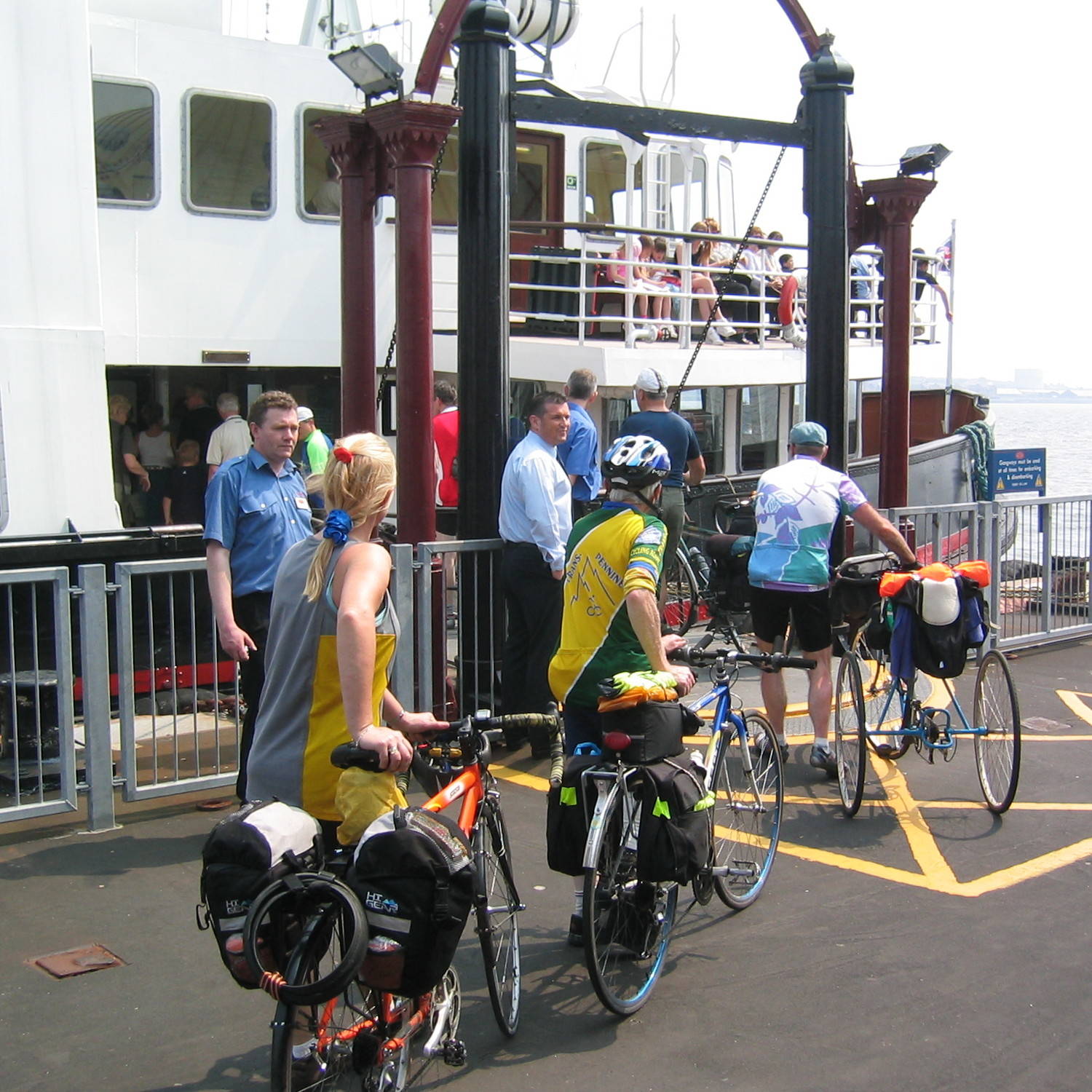
The day was warming up. At least those of us still “on-tour” managed to all get on the Ferry Across The Mersey. Lunchtime, so we grabbed something to eat then headed out of Liverpool (on A59 Scotland Road) without further incident.
We had a steady ride along the A59, through Ormskirk in the afternoon heat and into Preston. Onto the A6, just 10 miles or so to go. Bang! John gets a visitation from the P*nct*re Fairy, badly cutting the rear tyre case on a manhole edge.
That gets fixed and we carry on to our overnight stop at Bilsborrow Caravan Site where some of us were booked into the Premier Lodge nextdoor and others were squeezing into rented ‘vans. Kath was there awaiting our arrival, with her chauffeur, husband Steve. Colin would also depart for home, having only been free to participate for the first week.
Bang! John’s tyre explodes again…
Bilsborrow > Carlisle – 83 miles (595)
Another big day, another hot day, a return to the hills (Shap) and we’ve replaced D1 and Colin with Steve Cohen (unmotorised, but probably lugging as much baggage as the two of them had).
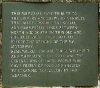
The elderly receptionist was having computer issues as 4 of us tried to check-out from the Premier Inn. Eventually, we start off and onto a time-trial course, L101, up the A6 to Forton albeit not at TT speed. Through Lancaster (where more computer issued with Sainsbury’s ATMs not working) following the A6 through Milnthorpe and more undulating road to Kendal. Then very much upwards over Shap. But not before having stopped at Halfords in Kendal for John to have his rear-wheel trued.
Onwards to Penrith, where the wind turns into a headwind for the final A6 slog into Carlisle. We were staying in B&Bs so we strolled into a busy Saturday Night Carlisle centre. We managed to find a bistro for a plush meal for once.
And to bring things back to normal, there was a strange admission from Steve: suffering from saddle soreness on the hills and in the heat, but not having a raw steak to hand, he tried sitting on banana skins inside his shorts!!! Not recommended!!!
Carlisle > New Lanark YH – 86 miles (681)
A 7.30am full English breakfast, then saddled up and straight through central Carlisle, no problems.
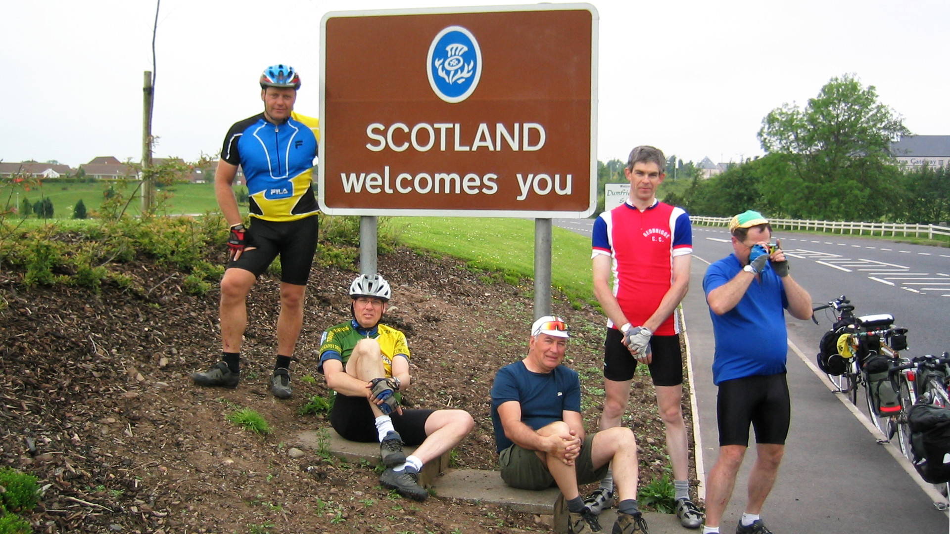
Into Gretna, where the girls stop to peruse the Tourist Wedding venues for a few moments whilst the rest plod onwards. Elevenses in Lockerbie and the sun comes out again. We rolled on to Moffat for lunch. D2 continued on, so missed out on the toasted brie and cranberry sandwiches and carrot cake. but we caught up with him at Abington Services and to allow Barry to replace a softening front tyre.
Note: back in 2003 when the A74(M) was new, the old A74 became a great, quiet road with gentle gradients, ideal for rolling along on a bike. Jump to 2017 (and to now) – the texture of the surface has degraded to be very coarse and unpleasant. Parallel B-roads exist slightly further west, via Lochmaben: give serious consideration to these as the extra mile or two is far easier on the body then the jarring surface of the old A74.
Onto the A73 and a decent tailwind builds up allowing us to roll into Lanark at 7pm. No evening meal booked for New Lanark YH so its into the town centre for a fish restaurant. The flags were out again, everywhere, but not for us – it was the local Laminer Week festival.
New Lanark > Loch Lomond YH – 62 miles (743)
We had two route options: to skirt around the south of Glasgow on unknown and probably hilly roads (Strathaven, Eaglesham, Paisley then Erskine Br across the Clyde), or to chance a new Sustrans route running straight into central Glasgow and along the north bank of the Clyde. So we headed up the hill into Lanark to see if the Tourist Info Centre sold a Sustrans Map – no luck. But we decided that it will be flatter along the riverside, so we gave it a chance.
We had a nice ride into Hamilton and find a Library where its Reference Section had said map and provided us with photocopies. Result! So we rode on to find Sustrans 74, passing the Tunnocks factory (of caramel wafers and teacakes fame) near Uddingston.
Too much glass strewn on the trail and p*nct*res within the 1st 1/2 mile. And a few mis-directions. Not auspicious. Through to Westburn, back onto tarmac, then back onto gravel. By 12:30 we were only in Cambuslang: that’s ~20 miles in 3 hours! Lunch stop in a Safeway: how ironic!
But things pick up after lunch. We find the Clyde-side trail which turned out to be OK, aside from a few burnt-out Fords in the way. And more glass – the glass-go way? Through Glasgow Green, lumpy pavements along the Clyde then onto streets around the SECC.
Near Scotstoun, the route deviated onto an old railway line, which was OK, apart from being loose surfaced and having many bollard barriers. At which point, we lost D2: he had gone into diesel mode and had chugged on ahead up the trail, all the way to Balloch! The rest of us regrouped and rolled on hoping to catch up, through Clydebank, onto the Sustrans Forth-Clyde Canal route to Bowling. And its bike shop, Magic Cycles.
We abandoned the Sustrans route to find a pub: the Littlemill Inn, for excellent toasties and a pint. Then proceed on to Dumbarton and A-roads to Balloch. The Co-op was able to replenish our stock of snacks.
We continue on the the YH at Arden, on the west shore of Loch Lomond, where we find D2 again and have an excellent pasta dinner.
VERDICT: Having previously skirted Glasgow on tour in 2002, (New Lanark – Larkhall – East Kilbride – Paisley – Erskine) and getting bogged down in East Kilbride’s many roundabouts, the Sustran’s route seems no better despite being flatter. The latter may now be OK with heavy reinforced tyres (e.g. Schwalbe Marathon Plus) but that could be a significant weight penalty on the rest of the trip.
Sadly, SYHA closed this magnificent hostel in 2013.
Arden > Onich – 71 miles (814)
A steady, if a bit squally, day. We left Arden in warmish sunshine, taking the A82 to Tarbet and on to Crianlarich. One bit of bad surface breaking another spoke…
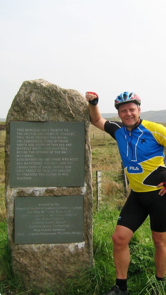
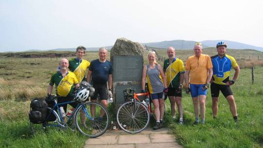
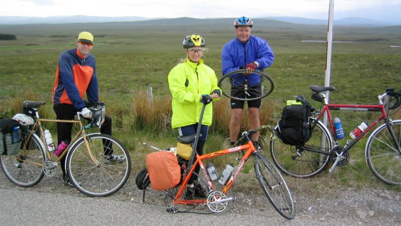
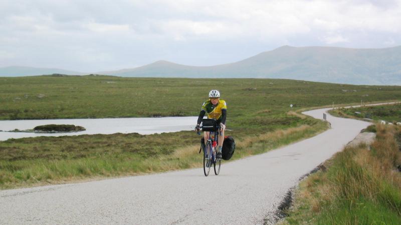
A quick stop on the Tearoom on the Station, then a gradual drag up to Tyndrum. A bit of a climb onwards towards Bridge Of Orchy, then a fast descent before an even more wicked climb overlooking Loch Tulla, up onto Rannoch Moor. Capes on, although we posed to record the moment on today’s summit, then capes off and onwards to an atmospheric Glencoe and a break at Kingshouse: except for Phil, Kath and Martin who failed to spot the turn-off sign and headed on down to Ballachulish.
Those that did stop were rewarded with pepper and courgette soup. Then back on the road, down the Pass Of Glencoe, being buzzed by RAF Tornadoes flying low. We passed by a car accident: Police were in attendance so we could carry on. Looking at airplanes? On through Ballachulish, to Onich and our bunkhouse for the night: good drying room, range of beers, wide bunks… Luxury, of a sort!
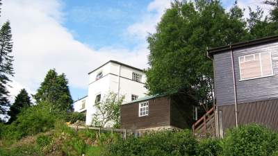
Onich > Loch Ness YH – 52 miles (866)
Up the A82 on the shore of Loch Linnhe, to Fort William where the bike shop was able to supply replacement spokes, tubes, etc. Nicole had a wheel straighten and Barry found a local welder to spot-weld a broken saddle-bag hanger. And he bought a HUGE tub of Drapolene, which much amused Steve Cohen. This became the inspiration for “The Ode To Drapolene.”
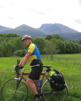
To find roads quieter than the busy A82, we switched over to the B8004 at Corpach: an excellent road with a great view of Ben Nevis.
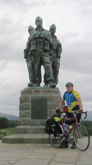
Onwards to Spean Bridge, the A82 again, the Commando Memorial (statue shoe rubbed for good luck, as is the tradition) and an excellent restaurant. We even risked the midges to sit outside. Then capes-on for light rain, up the A82 to Fort Augustus, for more supply re-stocking. Ditto at Invergarry Stores – we cleaned them out of apple pies: exceedingly good. Then on to the hostel.
Midges everywhere! Showers were scaldingly hot. Water supply intermittent, so the daily laundry had to wait until all were showered.
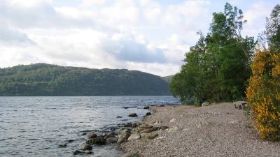
Footnote: SYHA Loch Ness is now an independent hostel named Lochside. The midges will still be there, May – October…
Loch Ness > Carbisdale Castle YH – 76 miles (942)
Local knowledge from former Invernessian, Captain Contours, suggested we take one big (but short) 1 in 6 climb to shortcut to Beauly, avoiding the busy A82 to Inverness and a long drag over The Black Isle on the busier A9 to Dingwall. Thus, we turned off the main road at Drumnadrochit to tackle the Culnakirk climb. [A shortcut used in many End-To-End Record attempts] Even Barry [trike] accepted the logic, and that despite having slipped in the hot shower and pranged a knee the night before. We all made it up. Cohen, “I’ll tell you how bad that was – I nearly ditched my Bird Book!” But the rewarding gentle 10 mile drop down into Kirkhill and Beauly, on otherwise deserted roads, made it all worthwhile.
On to Dingwall, and a reunion in the bike shop where Barry salvaged his Cape Wrath ride with a replacement freewheel. On to Alness on the busy A9, then off that to find a Safeway cafe and relocate a wayward Kath (who had turned off early to try to find a less busy road.) Then another reunion – Ken Ross Cycles in Invergordon. Then onwards to Ardgay and our destination for the night.
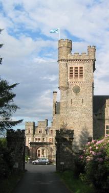
Having stayed here in 2002, we knew the score: a walk across the railway bridge (foot gantry available) over the river to the Invershin Hotel for food and some whisky. And we compiled a little ditty for a postcard to D1, “Bicycles and tricycles are twicycles as nicycles. Wish you were here!”
Footnote: Carbisdale Castle ceased to be a youth hostel from 2011.
Ardgay > Tongue YH – 49 miles (991)
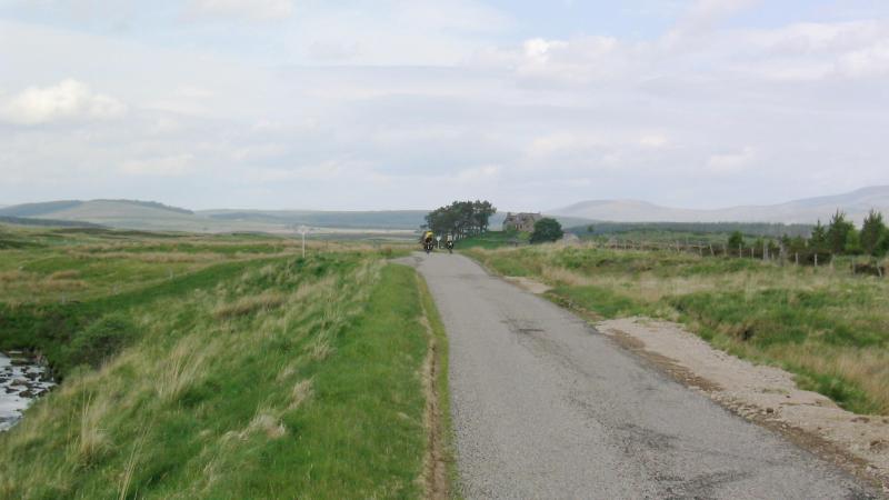
A short day but into the barren highlands of Sutherland… Rather than detour back to Ardgay – Bonar Bridge – Invershin, most of us battled bikes and panniers along the nettly footpath, up onto the bridge gantry, over the river, and down the other side. By the time we’d faffed our way through all that, Barry, having ridden the trike the long way around, had caught us up..
On the road to Lairg; a bright, dry, sunny day with a strong S tailwind. We spotted a buzzard on the road (no, not an eagle) then got buzzed by a selection of RAF Tornadoes, Hawk Trainers and a Eurofighter! [Gulf War training]. Then onwards to the Crask Inn for soup, roast-beef sandwiches, a pint of Red Kite (Black Isle Brewery) and Nicole’s umpteenth p?nct?re of the trip.
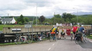
After lunch, we topped the climb to Crask Hill and rolled down into Strath Vagastie. Cpn Contours’s rack broke but was able to be zip-tied and shoe-laced back into a workable order and Steve C was in “David Baillie” mode, so we rolled along slow and steady. Non-stop through Altnaharra and on to Tongue and into the hostel too early at 16:30 hrs.
pics
Team cooking tonight, so it was a huge spag’ bol’ then off to the pub – a 1.5 mile walk away. Tongue may be a small village but has 2 pubs! 4 whiskies later, we staggered back to the hostel to be dragged off out again by the warden, to “come and see the sea-otters by the causeway,” which we think we did!
Tongue > John o’ Groats – 72 miles (1063)
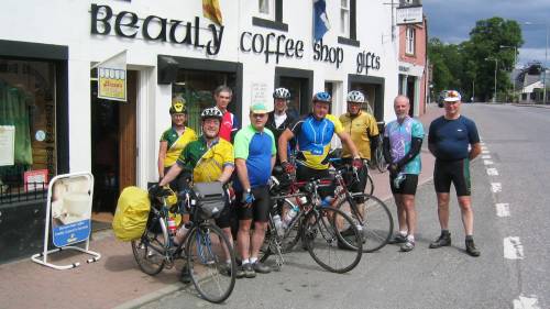
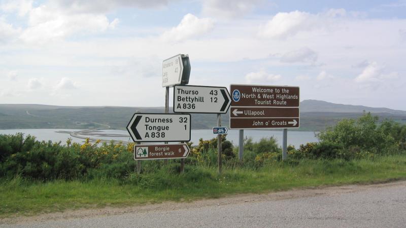
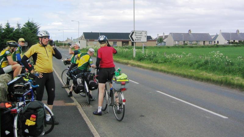
Last day and much to Kath’s disgust, a late-ish start. Anything to do with last night’s whiskies? Out onto the Bettyhill road, which was quite undulating. The village shopkeeper in Bettyhill, a Yorkshire lady with an accent that could cut a loaf of bread, informs us that there is tea-room/coffee shop down the hill, or a hotel up the next hill that might do teas. It was only 9.30am and the coffee shop was still shut. We carry on but fail to spot the hotel, so we pedal on to the Strathy Inn. The proprietress there was another Yorkshirewoman (and not unlike Sybil Fawlty) quickly prepared egg, cheese and pickle sandwiches for us, plus tea and shortcakes. Most excellent.
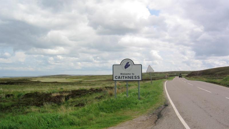
Back on the road and to very open Caithness terrain, headwind of course, to Reay and by the Dounreay Nuclear Facility. Road re-surfacing works in Reay with lots of very loose unbound gravel – not rideable with panniers, so it was dismount and take to the 24″ gear again. Were we being cursed on this final day?
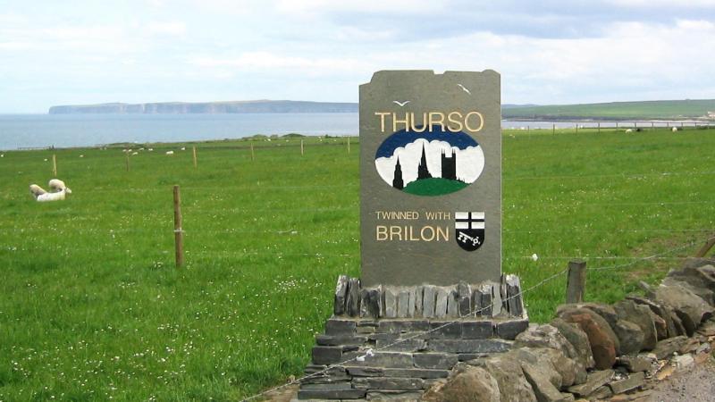
In Thurso where we found a cafe. Next disaster: Martin loses a screw from his shoe cleats and cannot clip-out. John uses a bit of magic to get the shoe out from the SPD pedal. D2 delves into his box of spares and finds a screw of correct diameter, but it is too long. Someone produces a hacksaw blade and, a bit of arm-work later, hey-presto! Back on the road. We’ll get there yet…
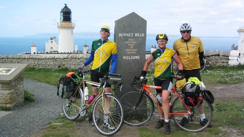
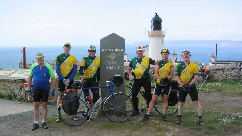
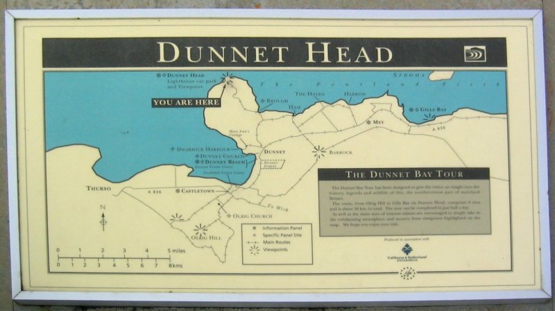
We crack on to Castleton. Some of the group have a desire to go even further north to Dunnet Head, the northernmost point of mainland UK. Barry & Kath declare that its pointless since we’d not had the time or foresight to visit Lizard Point back in Cornwall, so they continue direct onwards to the finish. Everyone else has the desire to be able to say that, “they’ve been there [JoG] and Dunnet.” And it was worth it for the view, the lighthouse and the marker stone.
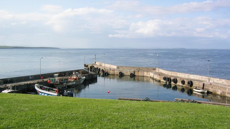
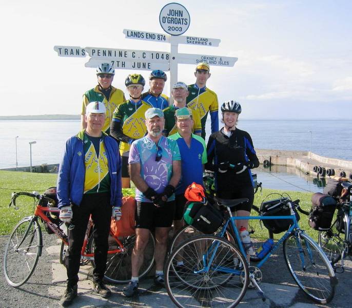
Maybe not so the rain showers: cape-on, cape-off, etc. Ride past Castle of Mey and the flags are flying (cloth ensigns, not slabs of slate), so we wondered if Her Majesty (Queen Mother) was at home? No time to enquire, as we get a phone message from Kath to tell us to get to the John o’ Groats sign ASAP, as the official recorder and photographer was about to close shop for the night at 6pm. We explain where we are and Kath convinces her to hang on for a few minutes. We roll in at 6.20pm and she had waited most patiently. Result.
We work out and average aggregate distance between all of the various route diversion, settling for a team rider average of 1048 miles ridden from Land’s End. Photo taken and record cards stamped in the museum shop.
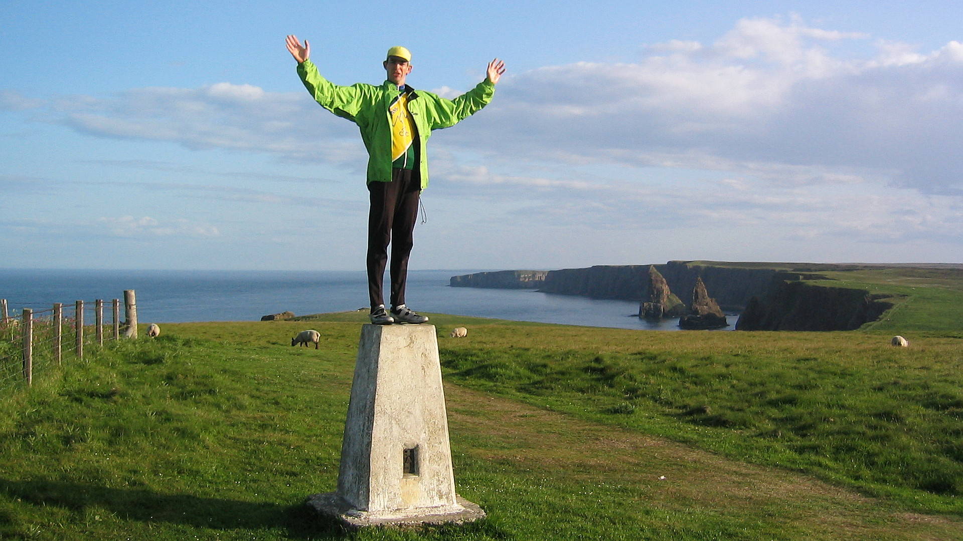
Now John o’Groats is neither the most northerly point nor the furthest point on the mainloand from Land’s End. So, having ticked-off Dunnet Head, there was Duncansby Head Lighthouse a tad futher east to visit, which 6 of us did do. Well, as far as the road went, to the Trig Point.
Then it was back to the Seaview Hotel for soups, steaks and a good few beers. That was Saturday, 7th June 2003. We’d ridden 15 days from Land’s End.
John o’Groats > Rochdale
On the Sunday, having been met by our transport vehicles, we loaded up and set off at 9am for the long drive back to Rochdale. Overall, we had a 17 day round trip from our homes.
Conclusions
We had mostly stayed in Youth Hostels – 1 x Premier Lodge, 1 x B&B and our final night’s hotel. Overall cost for accommodation (back then in 2003) was just under £250 per head, although meals were normally extra and paid-for on the spot. Most of these hostels provided catering: there were only 2 nights we had to do our own cooking.
We needed a spreadsheet system to sort out the balance of payments and we had paid the food and accommodation of our 2 drivers, of course: essential to the team and the trip.
We had a fair number of mechanical incidents: some tyres and wheels coping better than others. But that is to be expected riding with full panniers on UK rural roads. We generally managed to sort ourselves out, having had a bit of foresight and a selection of nuts, bolts, zip-ties and tools. That said, I wouldn’t ride (with panniers) on tyres any smaller than 28 mm (700c x 28) and bigger is better, especially given the state of road maintenance nowadays!
Our variations on the CTC Route generally managed to avoid main roads, although in some places these were unavoidable. A82 versus A9? You’d do well to avoid the A9 north of Tain (to Wick): there is no cycle track alongside it north from Inverness.
In those pre-Garmin GPS days, navigation was on A4 print-outs from AutoRoute Express, the mapping app of that moment, and pages torn from cheap UK Road Atlases. Given today’s bike computers, then riding a pre-loaded track would make life easier – provided you can get things recharged! Or use a Garmin Etrex with AA batteries…
And I managed many beers and ales from at least 19 different breweries along the way.
Overall: Highly recommendable if you have yet to try a trip of this nature.
Original photos (except for John o’ Groats group shot) by John Wright, from Darwen. Thank-you John.


